
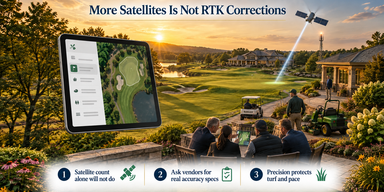
More Satellites Is Not RTK Corrections
Two Things That Sound the Same but Are Not
A GPS platform rolled out a positioning upgrade in June 2026. The announcement cited multi-constellation GNSS, access to up to 20 satellites, and improvements to geofence breach detection and pace monitoring. The language was confident. Words like accuracy and consistent positioning were front and center.
None of that is false. Multi-constellation GNSS is a real improvement over single-constellation GPS. But it is not RTK correction. And if you are a golf course operator evaluating GPS platforms, that distinction matters more than the satellite count.
Here is what is actually happening, in plain language.
What Multi-Constellation GNSS Actually Does
Standard GPS uses the United States NAVSTAR satellite network. Multi-constellation GNSS means a receiver can also pull signals from other global networks, including Russia's GLONASS, Europe's Galileo, and China's BeiDou. More networks means more satellites visible at any moment. More satellites means the receiver has more signal geometry to work with.
The practical result is better consistency. In environments where signal blockage is a problem, like tree-lined fairways or areas near structures, a multi-constellation receiver is less likely to lose its fix. Positioning drops less often. The system stays online through more of the round.
That is a genuine improvement. It is worth noting. But it does not change the fundamental accuracy ceiling of standard GPS.
What RTK Correction Actually Does
RTK stands for Real-Time Kinematic. It is a correction layer, not a satellite network. Here is how it works.
A fixed base station sits at a known, surveyed location. That station continuously receives satellite signals and calculates the error between what the signal says and where the station actually is. It then transmits those error corrections to mobile receivers in the field in real time. Every cart unit applies that correction to its own position calculation before reporting a location.
The result is centimeter-level accuracy. Not meter-level. Not sub-meter. Centimeter-level. A cart does not appear somewhere on a fairway. It appears at a specific point, accurate to within a few centimeters, continuously updated.
Multi-constellation GNSS improves how reliably a receiver sees satellites. RTK corrects the physics of the signal itself. These are different categories of technology solving different problems.
Why the Difference Matters on a Golf Course
Golf course GPS has three jobs: geofencing, pace of play, and player location. The accuracy requirement is different for each.
Geofencing
A cart path boundary is a line on the ground. In practice, that line might be eight to ten feet from the edge of the green surround, or three feet from a bunker face. When a cart crosses that line, you want to know. You want the screen to fire an alert and the system to log the breach.
Standard GPS, even multi-constellation, carries a positional error that varies. A cart sitting on the cart path might show up inside the geofence. A cart clearly off the path might not trigger the breach until it has traveled further into the rough. That error is not random noise you can average away. It is real uncertainty in the position fix.
RTK-corrected positions do not carry that uncertainty in the same way. The breach fires at the actual boundary, not an approximation of it. That means fewer missed events and fewer false positives.
Pace of Play
Pace monitoring at its most basic just needs to know which hole a group is on and roughly how long they have been there. Standard GPS can handle that. But if you are trying to detect whether a group is stalled at a tee box versus moving slowly down the fairway, or whether they have cleared the green, you need position accuracy that matches the physical geography of the hole.
Centimeter-level accuracy lets you draw tight zones around tee boxes, fairways, approach zones, and greens. Group transitions between zones are clean. Dwell time calculations are precise. That data feeds better pace alerts and better ranger deployment decisions.
Turf Protection
If you are running cart-path-only enforcement or protecting newly seeded areas after a renovation, the geofence accuracy question becomes a turf protection question. A three-meter positional error means a cart can travel three meters into protected turf before the system registers a breach. At centimeter-level accuracy, that gap does not exist in the same way.
The Spec Question to Ask Every GPS Vendor
Here is the exact question. Write it down before your next vendor conversation.
What is your published horizontal positional accuracy specification, in centimeters, under open-sky conditions, and does that spec apply with or without correction technology?
A vendor selling multi-constellation GNSS without RTK correction will not be able to give you a centimeter-level number. Sub-meter claims based on satellite count alone should prompt a follow-up: what is the correction source? If there is no correction source, there is no RTK.
Ask for the spec in writing. Ask whether it is a mean accuracy or a 95th percentile accuracy. Ask whether it degrades under canopy or near structures. A vendor with actual RTK architecture will answer those questions without hesitation because the numbers are real and documented.
A vendor without RTK will redirect to satellite count, constellation names, or qualitative language about consistency. That redirection tells you what you need to know.
Why More Satellites Cannot Replace a Correction Signal
Satellite signals travel roughly 12,500 miles from orbit to your cart receiver. Over that distance, the signal passes through the ionosphere and troposphere. Both layers distort the signal. The distortion is not constant. It changes with solar activity, humidity, temperature, and time of day.
More satellites give you more geometry. Better geometry means the receiver can triangulate its position more reliably. But every one of those satellite signals carries the same atmospheric distortion. The receiver is working with more distorted signals, not corrected ones.
RTK correction works differently. The base station at your course is also receiving those distorted signals. It knows exactly where it is. It calculates the distortion in real time and sends the correction to your cart receivers. Those receivers apply the correction before they report a position. The atmospheric distortion is removed from the calculation, not averaged across more signals.
That is why RTK accuracy is measured in centimeters and multi-constellation accuracy is measured in something larger. The underlying mechanism is different.
What to Do With This Information
If you are currently evaluating GPS platforms, add the spec question above to your RFP or your vendor call. Do not let satellite count serve as a proxy for accuracy. Ask for the number.
If you are mid-contract with a platform and accuracy is causing operational problems, document the failures. A geofence breach that does not fire, a pace alert that triggers late, a cart that appears on the wrong hole. These are accuracy failures. Document them with timestamps and screenshots. That documentation is useful at renewal time.
If you are early in a build or renovation and adding GPS infrastructure, this is the moment to spec it correctly. RTK architecture requires base station infrastructure. That is a real installation consideration. Plan for it now rather than retrofit it later.
Precision GPS and standard GPS are not the same measurement category. One is corrected. One is not. More satellites in the uncorrected category does not close that gap. Knowing the difference protects your budget, your turf, and your operational data.
Revolutionize Your Golf Operations with FAIRWAYiQ
Unlock the power of data analytics to optimize your golf course management